Marine Debris Clean Up

As you walk along Fishers Island’s beaches, you are often struck by their raw beauty. At the same time, you may notice debris that has washed ashore from far beyond our island. Marine debris is an ongoing challenge, carried in by tides and currents and left behind by storms, fishing activity, and human use of coastal waters.

Protecting wildlife and coastal ecosystems means keeping our beaches clean. Removing marine debris is a critical part of the Fishers Island Conservancy’s stewardship work.

A Longstanding Community Effort

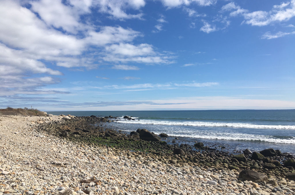
Marine debris cleanup on Fishers Island has long relied on the dedication of community members and volunteers who care deeply about the island’s shoreline. Over the years, countless hours have been spent walking beaches, removing debris, and protecting wildlife from harm.

Today, this work is coordinated through a structured, year round program that combines regular shoreline cleanups with detailed data collection and reporting.

The Conservancy’s Marine Debris program is led by Michele Klimczak, who serves as the Marine Debris Coordinator. In this role, she oversees shoreline monitoring, cleanup efforts, volunteer coordination, and debris tracking across the island.

The Impact of Marine Debris

Marine debris is more than a visual issue. Items such as fishing gear, plastic fragments, balloons, and other materials pose serious risks to wildlife and coastal habitats.

Birds and marine animals can become entangled in debris or ingest it, often with fatal consequences. Shorebirds are especially vulnerable, as they nest and forage directly on open beaches.

Much of the debris found on Fishers Island originates beyond the island itself. Ocean currents transport materials from distant sources, making marine debris a regional and global problem that requires local action.

From Shoreline to Data

The Marine Debris program goes beyond cleanup alone.

Each piece of debris collected is logged, weighed, and assigned to a specific zone. This tracking system allows the Conservancy to identify patterns, measure effort, and understand how debris accumulates across different parts of the island. This data helps the Conservancy identify problem areas along the shoreline, detect seasonal and storm related trends, support outreach and education efforts, measure the long term impact of cleanup work. By pairing hands on stewardship with consistent data collection, the program strengthens both conservation outcomes and scientific understanding.

Beach Cleanup Guidelines

As rusted metal, hypodermic needles, glass and sharp plastic are commonly encountered during cleaning, there are some guidelines that should be followed during a beach cleanup:

– Bags fill quickly and should be carried away from the body to avoid injury.

– Thick work gloves should be worn to protect hands at all times.

– A sharps container should be carried for things such as needles.

– Bags should not be left at the beach, but brought to the transfer station or the dump.


Fishers Island Zone Map

N1: Airport Beach, Silver Eel Cove, Little Stony, Hay Harbor Club Beach, Holiday House

N6: South Dumpling Beaches, Grey Gulls, Beach at Stables, Dock Beach, North Hill

N5: Clay Point Road Beaches, Chocomount Cove, Hungry Point, East Harbor

E4: Latimer Light Beach, Beaches to Left of Castle Road, Houghton Beach, Beaches Behind Money Pond

S2: The Race, Sanctuary of the Sands, South Beach, Wilderness Point, Isabella Beach

S3: Chocomount Beach, Beach Before Fishers Island Club

Fishers Island 2026 Marine Debris Zone Summary

January 2026 – December 2026

ZONEWEIGHT (LBS)TIME (HOURS)
NO ZONE
E4
N1
N5
N6
S2
S3
 

Fishers Island 2026 Marine Debris Monthly Summary

ZONEWEIGHT (LBS)TIME (HOURS)
JANUARY26949
FEBRUARY37160.5
MARCH
APRIL
MAY
JUNE
JULY
AUGUST
SEPTEMBER
OCTOBER
NOVEMBER
DECEMBER
TOTAL